A geography teacher spends the year explaining that 8.2 billion people are not spread evenly, that migration flows are not what the headlines suggest, and that five countries hold most of the world’s forest. Then they go home to a wall with nothing on it. Good gifts for geography teachers are the ones that keep working after the wrapping comes off — something that hangs in a classroom, survives a hundred lessons, and settles an argument about scale without anyone opening a laptop.
How to choose
Start with the price tier, because it determines almost everything else. Phone wallpaper packs are £2.99 (about $4) and are a stocking-filler, not a main gift. Printable posters start at £3.99 (about $5) — you buy the files, they print them. Premium matte posters start at £12.99 (about $16) for the printed article, delivered.
Digital versus printed is really a question of who does the work. A printable download hands the teacher a zipped folder of five high-resolution JPGs plus a printing instructions PDF, covering 4:5, 3:4 and 2:3 ratios, along with dedicated files for 5″×7″ and 11″×14″. That is useful for a classroom, where a fresh copy can be run off when the old one gets tired. A printed matte poster is the better object: 189 g/m² paper, 10.3 mil thick, made to order.
Size matters more than usual here. These are dense graphics with every country drawn to scale and labeled, so an 8″×10″ print turns the smaller nations into confetti. The recommended size is 18″×24″, and for a classroom wall that is the minimum worth considering. Frames are not included, so either budget for one or accept that plenty of teachers never frame anything.
On timing: printed posters are made to order and shipped worldwide, so order physical posters by early December for Christmas, and leave room before term starts or before a birthday. Downloads arrive as a link the moment the purchase completes, which is the entire argument for buying digital if you have left it late.
The picks
World Population 2026 — printable poster
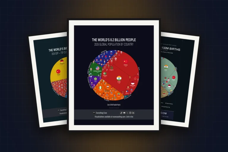
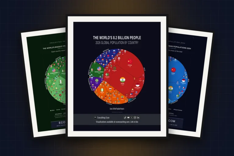
Every country drawn to scale by its 2026 population: 8.2 billion people in one frame, with India and China at roughly 1.4 billion each, according to UN World Population Prospects (2026). This is the workhorse of a geography classroom — it makes the population distribution argument in about four seconds, which is faster than any lesson plan. Available as a World Population 2026 printable poster at £3.99 (about $5), or as a premium matte print from £12.99 (about $16).
Where the World’s Children Live 2025
India has 354.2 million children, China 216.7 million and Nigeria 96.2 million, on World Bank figures drawn from the UN World Population Prospects (2025). The gap between the second and third entries is the whole demographic transition in one comparison, and it lands with students in a way that a line chart never quite does. Suits a teacher covering population structure or development. The Where the World’s Children Live 2025 printable poster is £3.99 (about $5); a printed matte version is also available.
The World’s Biggest Forests 2023
Russia holds 8.2 million square kilometers of forest, Brazil 4.9 million and Canada 3.5 million, per World Bank data sourced from the FAO (2023). Forest cover is one of those topics where the numbers are quoted constantly and understood rarely, and seeing three countries dominate the frame does the explaining. Good for anyone teaching biomes, carbon sinks or deforestation. The Biggest Forests 2023 premium matte poster starts at £12.99 (about $16), with a £3.99 printable and a £2.99 wallpaper pack alongside it. Background reading: the five-country forest monopoly.
The World’s Biggest Migration Magnets 2025
Net migration to the United States ran to 1.2 million in 2025, with Canada at 326,000, on World Bank figures from UN DESA (2025). Net migration is the statistic most often misquoted in class, because gross arrivals and net flows get used interchangeably. A poster showing the net figure to scale is a quiet corrective. The Migration Magnets 2025 premium matte poster starts at £12.99 (about $16); a printable version is £3.99.
Refugees by Host Country 2024
Iran hosts 3.5 million refugees, Türkiye 2.9 million, Uganda 1.8 million and Chad 1.3 million, on UNHCR data (2024). The list is almost entirely made up of countries neighboring a crisis, which is not the picture most students arrive with. This is the pick for a teacher who covers migration and is tired of correcting the same assumption every year. The Refugees by Host Country 2024 printable poster is £3.99 (about $5). See also: the myth of the rich world’s burden.
Refugee-origin Countries 2025
Ukraine accounts for 5.2 million refugees, Syria 4.9 million and Sudan 2.8 million, per UNHCR (2025). Paired with the host-country design it makes a two-poster unit — where people leave from, where they end up — and the pairing is more useful on a classroom wall than either alone. The Refugee-origin Countries 2025 premium matte poster starts at £12.99 (about $16), with a £3.99 printable if you want both designs without doubling the spend.
The World’s Biggest CO₂ Emitters
China emits 12.2 billion tonnes of CO₂ a year, the United States 4.9 billion and India 3.1 billion, on Our World in Data figures from the Global Carbon Project (2023). Annual emissions are the number every climate lesson opens with, and a to-scale treatment stops the top three from being abstract. Suits geography teachers who also cover environmental management. The Biggest CO₂ Emitters premium matte poster starts at £12.99 (about $16), with a £3.99 printable download.
The Biggest Renewable Electricity Generators
China generated 2,900 TWh of renewable electricity, the United States 964 TWh and Brazil 630 TWh, per Our World in Data using Energy Institute figures (2023). It is the natural companion to the emissions poster, and the two together make the point that the biggest emitter and the biggest renewable generator are the same country. Good for energy and sustainability units. The Biggest Renewable Electricity Generators printable poster is £3.99 (about $5); the printed matte version starts at £12.99.
Africa’s Population
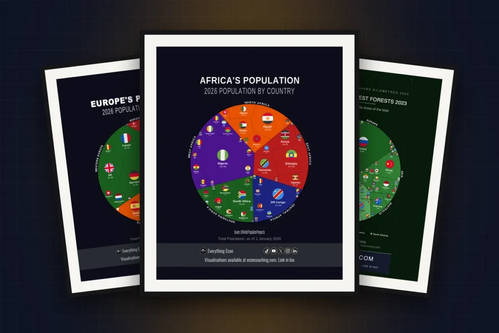
Africa reaches 1.4 billion people in 2026, led by Nigeria at 240 million, Ethiopia at 137.2 million and Egypt at 119.2 million, on UN World Population Prospects (2026). Continental detail is where most classroom maps give up, and a teacher covering Africa will get more from this than from another world map. It is part of a continent series, so you can match the region to the syllabus. The Africa’s Population printable poster is from £4.99 (about $6), with a £2.99 phone wallpaper pack alongside it.
The World’s Biggest Air-travel Nations 2023
The United States carried 941.6 million air passengers in 2023, China 619.2 million and India 180.4 million, on World Bank data from ICAO (2023). Air travel is a tidy proxy for connectivity and income, and the ranking rewards a second look — passengers are counted by carrier nationality, which is why some small countries punch far above their size. The Biggest Air-travel Nations 2023 printable poster is £3.99 (about $5).
The World’s Biggest Agricultural Economies 2025
Agricultural value added totals $3.9 trillion globally, with China at $1.3 trillion, India at $642 billion and Brazil at $139 billion, per World Bank data (2025). Agriculture is the unit where students most often assume the poorest countries produce the least, and the top of this list quietly dismantles that. Suits anyone teaching food security or economic development. The Biggest Agricultural Economies 2025 premium matte poster starts at £12.99 (about $16), with a £3.99 printable version.
The World In Your Year — personalized population map
Pick any year from 1950 to 2026 and the map redraws every country by its population in that year, colored by continent, using UN World Population Prospects (2024). For a retiring teacher, or one marking a milestone, the year they started teaching makes a sharper gift than a generic world map. The World In Your Year printable population poster is from £5.99 (about $8), and you can print it at home or at a print shop once you have the file. There is a dedicated personalized year poster page if that is the direction you are going.
Digital or printed?
Digital downloads arrive as a link the instant the purchase completes, which is the only honest answer if you are buying the night before. You get five high-resolution JPGs covering the common ratios plus an instructions PDF, and a teacher can print at 5″×7″ for a desk or 24″×36″ for a display wall from the same £3.99 purchase. The catch is that you have handed someone a task rather than an object.
Printed matte posters solve that: 189 g/m² paper, made to order, shipped worldwide, starting at £12.99. If the gift needs to be unwrapped, buy printed. If it needs to arrive today, buy the file. Phone wallpaper packs at £2.99 — three designs, such as the Biggest Forests wallpaper pack — work as an add-on rather than the main event.
Questions
How are printed posters delivered?
Each premium matte poster is printed to order and ships worldwide. Because production happens after the order is placed, order physical posters by early December for Christmas, and allow time before any other fixed date such as the start of term. If the deadline is tight, the printable download is the safer choice.
Do posters come framed?
No — frames are not included. Printed posters are supplied as the print alone. Standard sizes such as 18″×24″ and 11″×14″ are easy to frame off the shelf, which is one reason to stick to a common size rather than an unusual one.
What file formats do printable posters use?
A zipped folder with five high-resolution JPGs and a printing instructions PDF. The set covers 4:5 (up to 16″×20″), 3:4 (up to 18″×24″) and 2:3 (up to 24″×36″), plus dedicated files for 5″×7″ and 11″×14″. Any print shop or home printer can handle a JPG.
Can I give a download as a gift?
Yes. You receive the download link on purchase and can pass the files on however you like. Printing one yourself at 11″×14″ turns a £3.99 file into something that can be handed over.
What size works best in a classroom?
18″×24″ is the recommended size. These designs label every country in the dataset, so anything smaller than 11″×14″ loses the detail that makes them worth putting on a wall in the first place.
Where to start
If you know the syllabus, buy the topic — migration, forests, emissions, population. Otherwise the World Population 2026 design is the safest single choice, being relevant to every geography course there is. The full range is on the gifts for teachers page, with more environmental designs under climate and environment. For a broader sense of how these maps read, the cities the map gets wrong is a good example of what ends up on the wall.